GEOSA Launches Geospatial Licensing and Permitting System
The General Authority for Survey and Geospatial Information (GEOSA) has launched the Geospatial Licensing and Permitting System, an essential initiative designed to organize and promote geospatial economic activities. This system aims to enhance the role of geospatial information in supporting and facilitating various sectors and national development initiatives.
The Geospatial Licensing and Permitting System seeks to create a unified regulatory and investment framework that encourages economic growth, localizes geospatial technologies, develops national geospatial capabilities, and enhances the efficiency and quality of geospatial services and products. It also aims to foster geospatial innovation, optimize the use of geospatial information for informed decision-making, and increase the Kingdom's attractiveness as a premier investment destination for a sustainable and thriving economy.
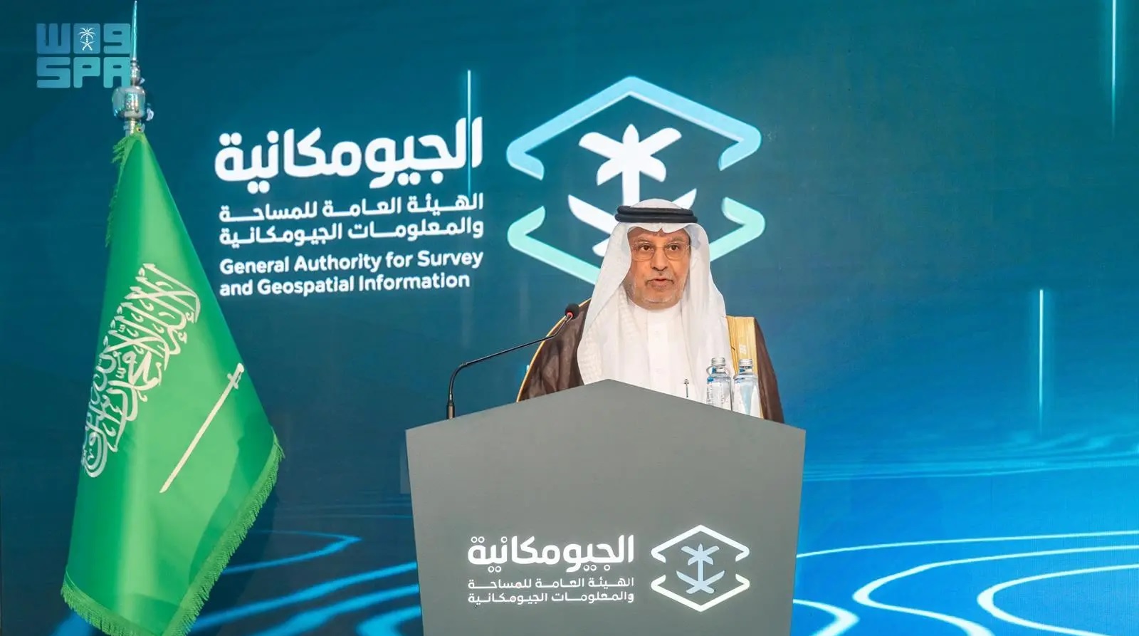
In a speech on this occasion, GEOSA President Dr. Mohammed bin Yahya Al Sayel expressed his gratitude to the leadership for their support and commitment to empowering the surveying and geospatial information sector. He also recognized the minister of defense and chairman of the GEOSA board of directors for his consistent support, which has been crucial in helping the authority achieve its goals.