Northern Borders University Develops AI Model to Boost Urban Planning, Environmental Protection with Satellite Imagery
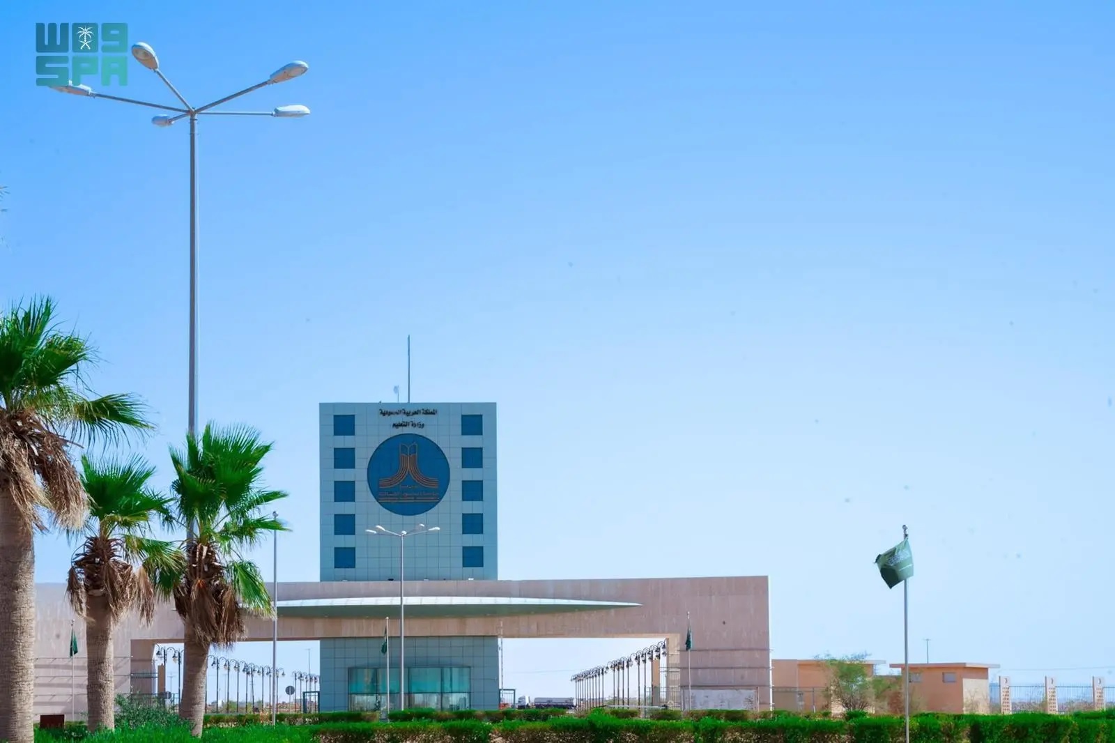
A research team from Northern Border University has developed an advanced artificial intelligence (AI) model for analyzing remote sensing images. This model is designed to accurately classify land uses and covers in real-time, significantly enhancing urban planning and environmental resource management.
According to the team, the model employs cutting-edge techniques, enabling it to achieve 94.8% accuracy in performance tests on global datasets. Additionally, it reduces computational parameters, making it suitable for deployment in embedded devices like drones and portable monitoring devices.
Published in Scientific Reports, the study highlights the model’s potential to address challenges such as climate change and unplanned urban expansion by offering precise, rapid tools for monitoring environmental changes. The model is also poised to support decision-makers in areas like smart agriculture, disaster management, and natural resource protection.


